Updated
← Back to mapCalifornia Rivers › Northern California, I-5 corridor from Box Canyon Dam to Shasta Lake
About 30 mi of freestone trout water below Box Canyon Dam, with I-5, the railroad and Dunsmuir right beside it.
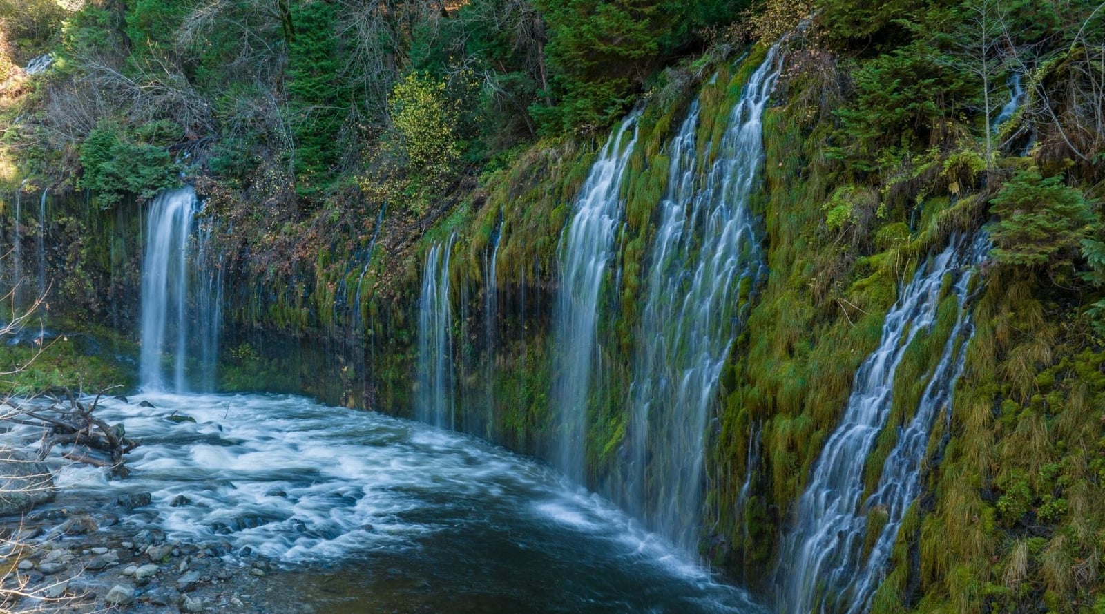
The Upper Sac is the Sacramento River's freestone headwater stretch, about 30 mi of trout water from Box Canyon Dam at Lake Siskiyou down to Shasta Lake at Lakehead. Its sources rise on the Trinity Divide west of Mt. Shasta City, and the South, Middle and North Forks gather in Lake Siskiyou above the dam. Below it the river drops south through a narrow canyon with I-5 and the railroad beside it nearly the whole way, so getting to the water is easier than on most mountain rivers. Expect pocket water, riffles, runs, small pools and big boulders, with brushy banks in a lot of places. Right below the dam, Box Canyon is hard to reach and hard to wade, with fast water, deep holes and flows that follow dam releases. From Cantara down toward Mossbrae Falls the river opens into runs and pocket water, and Cal Trout has improved the trails. Dunsmuir is the in-town stretch: from the Scarlett Way bridge at Bear Creek, past Old Bridge Pool, City Park and a string of street bridges to the South First St. bridge, the river is reached from Dunsmuir Ave. and its side streets. Below town it passes Castle Crags State Park, where a suspension footbridge crosses, then Castella, Sweetbriar and Conant Road. The lower river, from Sims Flat past Gibson, Pollard Flat, Lamoine and Delta to the I-5 bridges at Dog Creek, is fished exit by exit: 726 down to 718 above Sims, then 714, 712, 710 and 707. Where no road reaches the river, anglers walk the railroad right-of-way, and many railroad maintenance roads behind green steel gates are public access. Drive through an old gate that is plainly unused, but park outside a newer one and walk. Rainbow and brown trout are the fish here. Most are wild; planted fish turn up on the South Fork, at Dunsmuir City Park and at other easy town spots. Nymphs work all year. Dry flies come on from April through November, with golden stones from April into July, Baetis, PMD and Light Cahill mayflies and caddis through the season, and ants, hoppers and beetles from April through August. Spring brings fast water and deep riffles, the time for lures at Castle Crags, Delta Road and Sims Flat. By summer and fall the riffles run lower and shallower and the pocket water carries the fishing. Wading beats bank fishing at most spots, and sturdy boots help on the railroad ballast, since many walks in take 15 to 20 minutes. In pocket water a weighted fly with a dropper gets down fast; work flies through the riffles and save spinners and plugs for deep pools and high water. Check dam releases before planning a day in Box Canyon. The river is split into regulation zones with different limits and gear rules, and those rules change, so check CDFW's current California regulations before you go.
Best Season
Spring through fall, with dry flies April through November and nymphs all year. Check current regulations for season dates.
River Type
Freestone canyon river of pocket water, riffles, runs and boulder pools below Box Canyon Dam
Skill Level
Beginner to advanced: easy town water in Dunsmuir, harder walking and wading in the canyon and Box Canyon
Best Techniques
Nymphs all year, dry flies April to November, weighted two-fly rigs in pocket water, lures in deep pools at high water
Access
I-5 exits, Dunsmuir streets and railroad maintenance roads reach most of the river, and the railroad right-of-way links the spots in between.
Explore fish species associated with the The Upper Sac. Each profile includes identification tips, habitat notes, and practical fishing guidance for anglers.
Review seasonal insect hatches on the The Upper Sac, including timing windows and fly pattern suggestions for your next trip.
Check current seasons, limits, and special rules for The Upper Sac before you go. Regulations change, so always verify with IDFG.
The latest fishing conditions and hatch notes for The Upper Sac. Older reports live in the The Upper Sac report archive.
These YouTube videos have been hand-curated by our team because we feel they best represent the The Upper Sac fishery. Watch for river character, access context, and techniques that translate to your next trip.
No towns within 30 mi
Map data © Mapbox © OpenStreetMap
Part of Sacramento River (whole river)
These YouTube videos have been hand-curated by our team because we feel they best represent the The Upper Sac fishery. Watch for river character, access context, and techniques that translate to your next trip.
The The Upper Sac has 9 documented insect hatches across spring, summer, fall, and winter. Review seasonal timing and recommended fly patterns to plan productive days on this water.
Fishing guides, outfitters, shuttles, and shops that operate on the The Upper Sac.
No verified providers for this river yet. Browse the full directory.