
Rogue River at Dodge Bridge near Eagle Point
USGS 14339000 · Nov 1, 2026, 6:30 PM
Every 15 min · daylight
Updated
← Back to mapOregon Rivers › Southern Oregon
A long Oregon river from Cascade headwaters to Gold Beach, with winter and summer steelhead, spring and fall Chinook, and mountain trout up top.
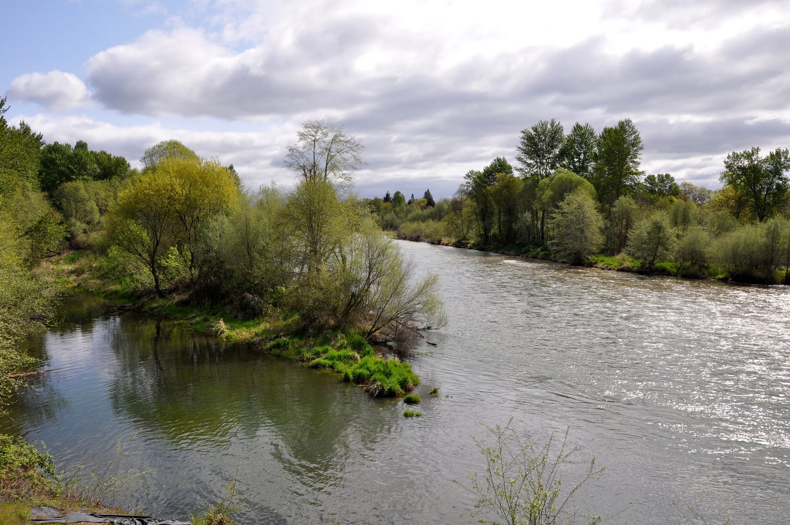
The Rogue runs 215 miles from the Cascade slopes northwest of Crater Lake to the Pacific at Gold Beach, through Jackson, Josephine and Curry counties. It starts as a small, clear mountain stream, becomes a big tailwater below Lost Creek Lake and a valley river through Grants Pass, crosses a roadless canyon, and ends as wide, deep water. Above Hamaker Meadows, at about 4000 feet, the river is trail-only. From Hamaker down past Farewell Bend, Union Creek, Natural Bridge and Woodruff Bridge to Prospect it threads lava beds and two gorges, Rogue River Gorge and Takelma Gorge, with pocket water, step riffles, long pools, logs and undercut banks. Hwy 230, Hwy 62 and forest roads reach it, some 4x4 only when wet. Below Lost Creek Dam, the Holy Waters run past the powerhouse, and Hwy 62 follows the river down past McGregor Park, Casey State Park, Rogue Elk, Shady Cove and Dodge Bridge to Tou Velle State Park near Eagle Point. The Middle Rogue covers 60 river miles from Tou Velle to Grave Creek, past the former Gold Ray Dam site, Gold Hill, Valley of the Rogue State Park and the former Savage Rapids Dam site to Grants Pass and its cemented gravel banks, then Hellgate Canyon, Galice and Argo. From Grave Creek, just above Rainie Falls, the 40-mile Wild and Scenic section is boat, raft or Rogue River Trail only. The Lower Rogue picks up at Foster Bar and runs 35 miles past Illahe, Agness and the Illinois River, Quosatana and Lobster Creek to Gold Beach, with big holes and long riffles reached from both banks. Steelhead are in the river nearly all year. Winter fish are the larger run, averaging 7 pounds with some past 16, from November to April on the lower river with a January peak, and from January to mid-April around Grants Pass, best in February and March. Summer steelhead run April to December, peaking in May and June and again from September to November, at 2 to 8 pounds; half-pounders are thickest in August. Chinook are in from March to October: spring fish peak May to July and reach the upper river from mid-June, and fall fish come August to October. Sea-run cutthroat reach the lower river in April and May and again August to October. Above Lost Creek Lake there are rainbows, brook trout and a few browns; below the dam, rainbows. On the big water, people plunk and drift bait and lures from bars and rocks, run drift boats and jet boats, and anchor for moving salmon. Fly anglers work the riffles, tailouts and pocket water; in 1993 the local steelhead patterns included the Golden Demon, Silver Hilton and Green Butted Skunk, with a Red Ant for half-pounders. Up top the water is very clear, so go light and quiet, and fish dries during hatches. Carry a wading staff around Gold Hill. Regulations change and differ by section, so check the current Oregon regulations before you go.
Best Season
January to March for winter steelhead; May to July for spring Chinook; August to October for fall Chinook and half-pounders
River Type
Mountain stream above Lost Creek Lake, tailwater and valley river below, big water to the sea
Skill Level
Beginner to advanced
Best Techniques
Bait and lures from bars and boats on the big water; flies in riffles, tailouts and pocket water; small-stream fly fishing up top
Access
Roads follow most of the river, with county and state park ramps throughout, but the 40-mile Wild and Scenic canyon below Grave Creek is boat or trail only.
Explore fish species associated with the Rogue River. Each profile includes identification tips, habitat notes, and practical fishing guidance for anglers.
Review seasonal insect hatches on the Rogue River, including timing windows and fly pattern suggestions for your next trip.
Check current seasons, limits, and special rules for Rogue River before you go. Regulations change, so always verify with ODFW.
The latest fishing conditions and hatch notes for Rogue River. Older reports live in the Rogue River report archive.
These YouTube videos have been hand-curated by our team because we feel they best represent the Rogue River fishery. Watch for river character, access context, and techniques that translate to your next trip.
No towns within 30 mi
Map data © Mapbox © OpenStreetMap
The Rogue River supports 5 fish species in our fishing catalog. Browse each profile for identification tips, seasonal patterns, and how these species are managed on this water.


These YouTube videos have been hand-curated by our team because we feel they best represent the Rogue River fishery. Watch for river character, access context, and techniques that translate to your next trip.
Fishing guides, outfitters, shuttles, and shops that operate on the Rogue River.
No verified providers for this river yet. Browse the full directory.
Review seasonal insect hatches on the Rogue River, including timing windows and fly pattern suggestions for your next trip.
No data for this season.
USGS 14339000 · Nov 1, 2026, 6:30 PM
Every 15 min · daylight