
Dagger Falls
Middle Fork Salmon River · Valley County
On the Middle Fork Salmon River: access, flows and reports →
Updated
IDPR Boat RampsVerified
Current conditions
Middle Fork Salmon River at Middle Fork Lodge near Yellow Pine ID
On Middle Fork Salmon River
Live18 hours ago
Flow
Gage height
Seasonal Flow
Normal48th percentile for Oct 13 · 35-yr record
Flow · 2 weeks + 7-day forecast
Falling to ~529 cfs by Oct 22 · issued Oct 12, 2026, 9:12 AM MDT · NOAA
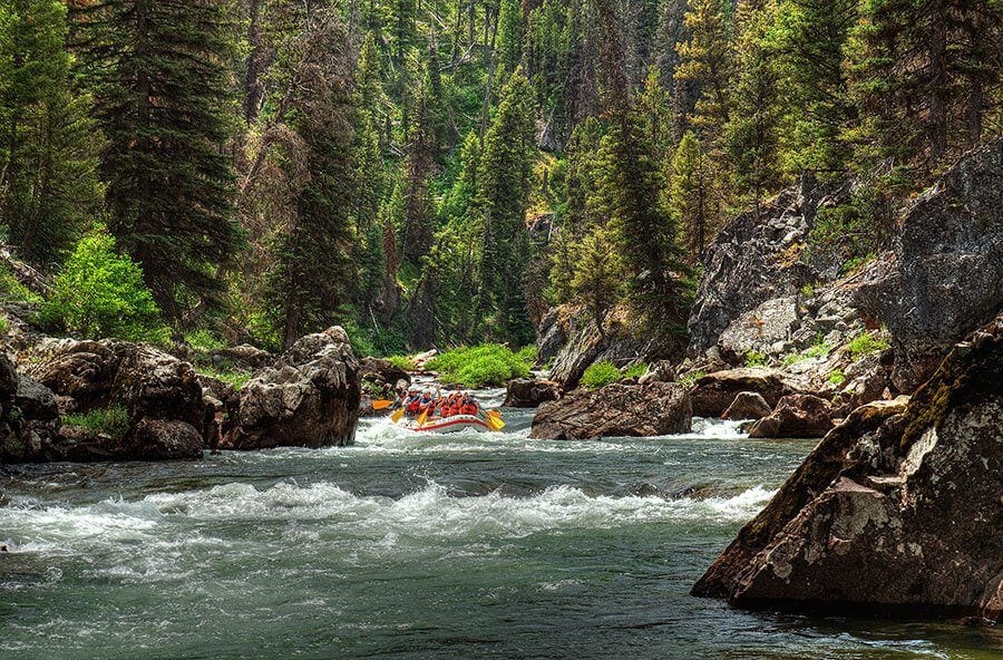
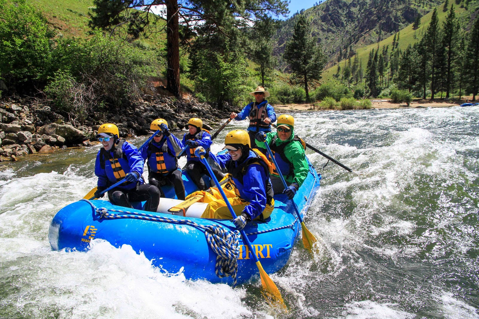
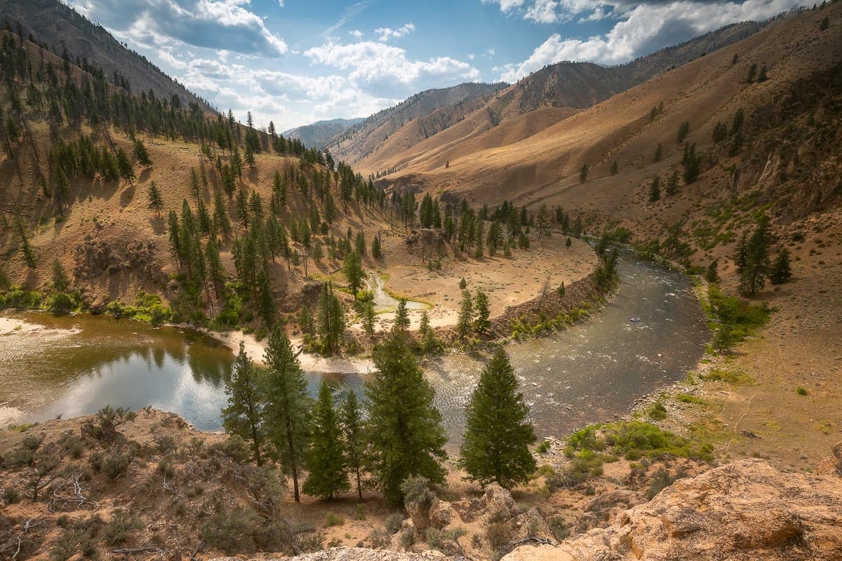
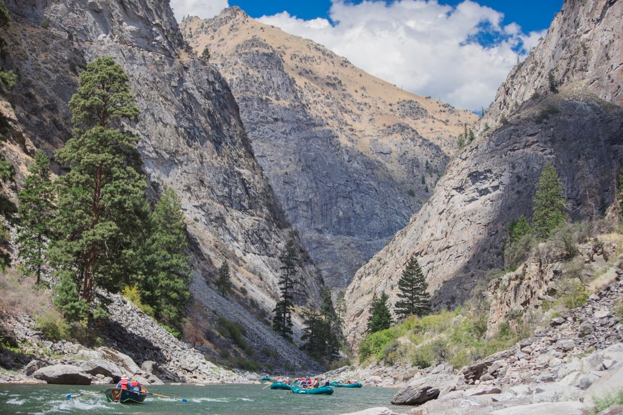
Site photos
Site facts
CountyValley
WaterbodyMiddle Fork Salmon River
Waterbody typeRiver/Stream
Coordinates44.53167, -115.29414
Guides & shuttles
No access-specific providers verified yet. Showing providers for this river.
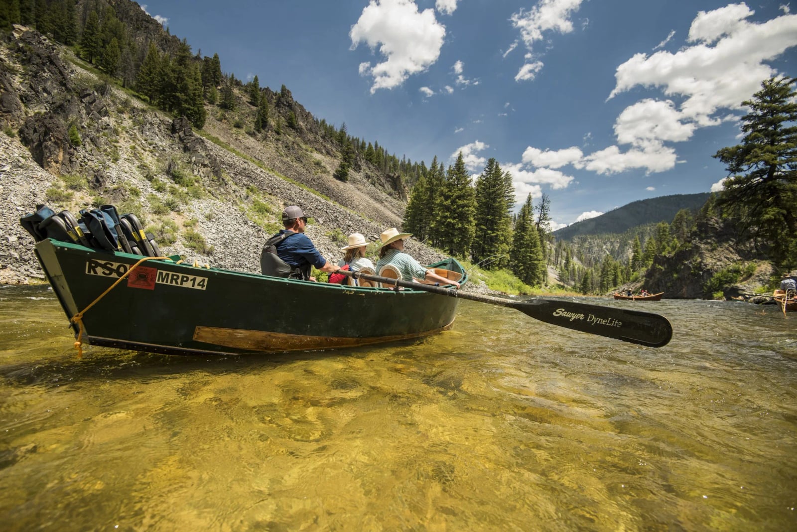
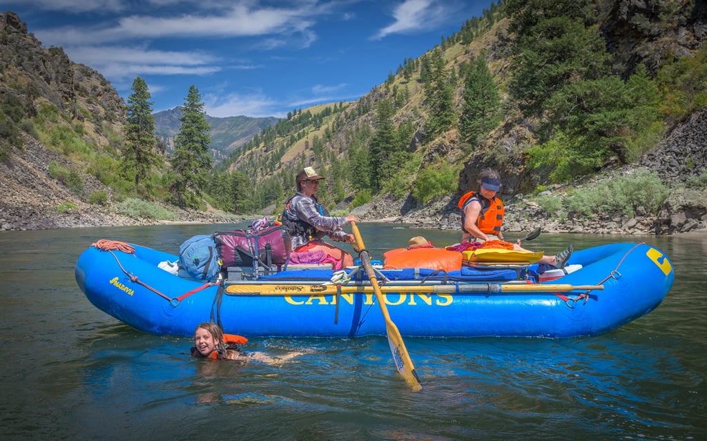
Guides & Outfitters









Related Videos
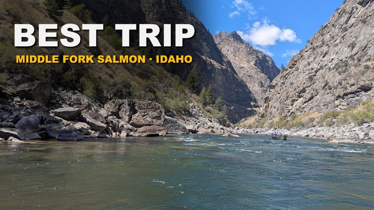
No reliable access-specific videos found. Showing broader river videos instead.
River Overview
Data: Idaho Parks & Recreation · Source id idpr_ramp:76