
Idaho fish migrations
Follow the run from the Pacific into Idaho.
· yesterdayCurrent
The Corps posts each day's count a day late. Next update tomorrow around noon Mountain.
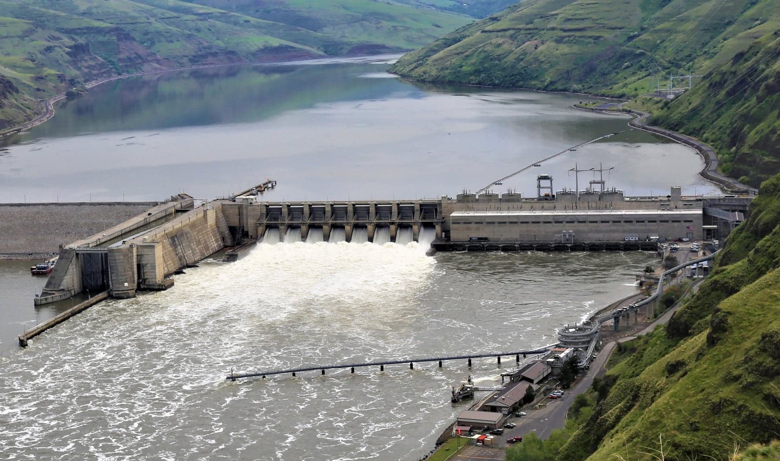
Snake River · Last dam below Idaho
At Lower Granite Dam
Lower Granite is the last dam below Idaho. Fish counted there are headed for the Snake, Clearwater and Salmon systems. This page follows them from the Pacific to the tributaries: what crossed the dam, how that compares with the same date over the last ten years, and how far up each river this year's fish have probably reached.
· yesterday
One fish = 5,000 counted this season
Steelhead
Well below typical- Steelhead: the run is tapering off, 26,860 so far
Salmon
Well below typical- Coho: the run is tapering off, 3,671 so far
Out of season
- Spring chinook · 28,119 countedSeason over
- Summer chinook · 7,941 countedSeason over
- Fall chinook · 23,623 countedSeason over
- Sockeye · 221 countedSeason over
Waves on the way
No pulse is currently being followed between the dams. A wave is only called when at least three consecutive days run above typical at one dam and the next dam upstream sees it inside the measured travel window.
Fish passage by river system
No dam counts fish above Lower Granite, so every water here shares the counts shown above: the whole run passes each river's mouth. What differs is which runs a river carries and how far up it this year's fish have probably reached, which is a travel model from the dam's counts, never a measurement of fish in the river.
Snake River
This reach is the first Idaho water above the dam; fish for every Idaho river pass through it.
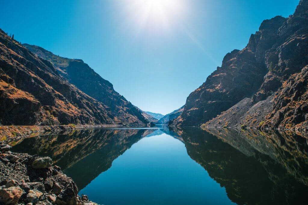
51 km above Lower Granite · 173 km of river
Snake River
Migration on the Snake River pageSteelhead
Well below typical- Steelhead: the run is tapering off
MouthThe whole stretchTop of stretchSalmon
Nothing running today.
- Spring chinook · Season over
- Summer chinook · Season over
- Fall chinook · Season over
Clearwater system
Fish bound for the Clearwater leave the Snake at Lewiston, just above the dam.
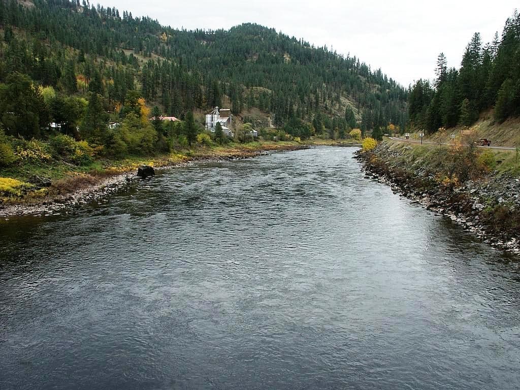
51 km above Lower Granite · 120 km of river
Clearwater River
Migration on the Clearwater River pageSteelhead
Well below typical- Steelhead: the run is tapering off
MouthThe whole stretchTop of stretchSalmon
Well below typical- Coho: the run is tapering off
MouthThe whole stretchTop of stretch- Spring chinook · Season over
- Fall chinook · Season over
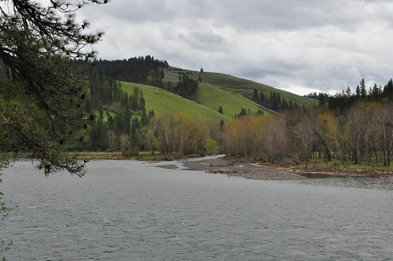
171 km above Lower Granite · 101 km of river
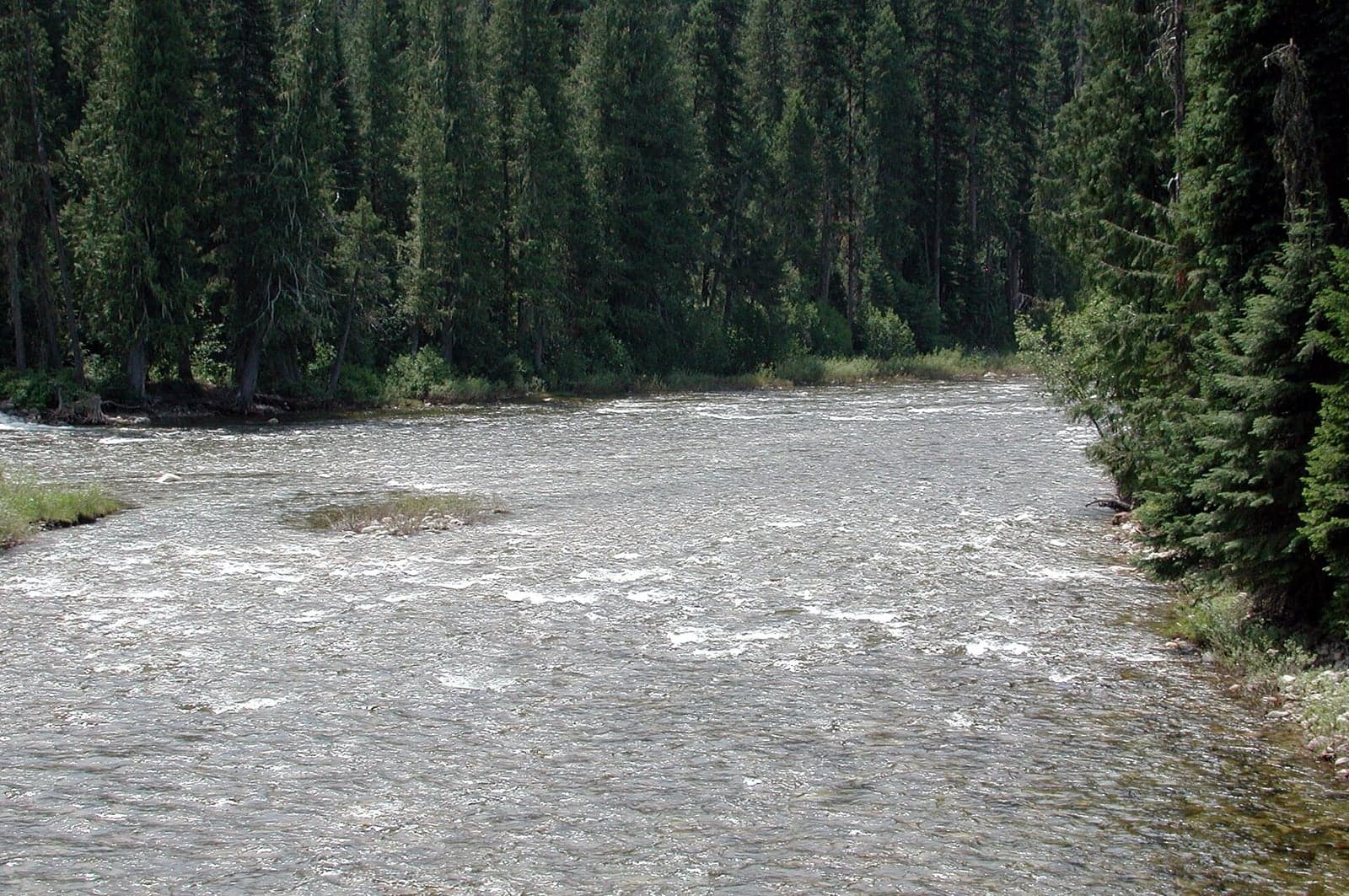
South Fork Clearwater River
Migration on the South Fork Clearwater River pageSteelhead
Well below typical- Steelhead: the run is tapering off
MouthAbout 67% of the way upTop of stretchSalmon
Nothing running today.
- Spring chinook · Season over
200 km above Lower Granite · 111 km of river
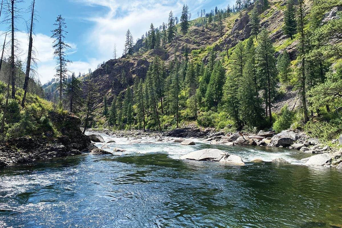
Lochsa River
Migration on the Lochsa River pageSteelhead
Well below typical- Steelhead: the run is tapering off
MouthAbout 38% of the way upTop of stretchSalmon
Nothing running today.
- Spring chinook · Season over
200 km above Lower Granite · 133 km of river
Selway River
Migration on the Selway River pageSteelhead
Well below typical- Steelhead: the run is tapering off
MouthAbout 25% of the way upTop of stretchSalmon
Nothing running today.
- Spring chinook · Season over
Salmon River system
Fish bound for the Salmon River continue up the Snake and turn in below Riggins.
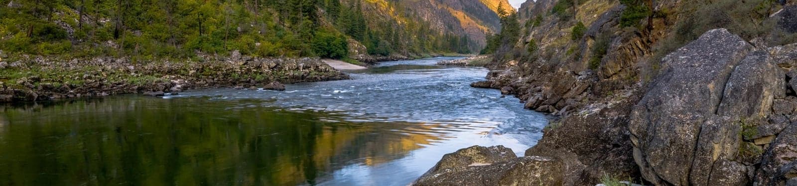
140 km above Lower Granite · 653 km of river
Salmon River
Migration on the Salmon River pageSteelhead
Well below typical- Steelhead: the run is tapering off
MouthAbout 17% of the way upTop of stretchSalmon
Nothing running today.
- Spring chinook · Season over
- Summer chinook · Season over
- Sockeye · Season over
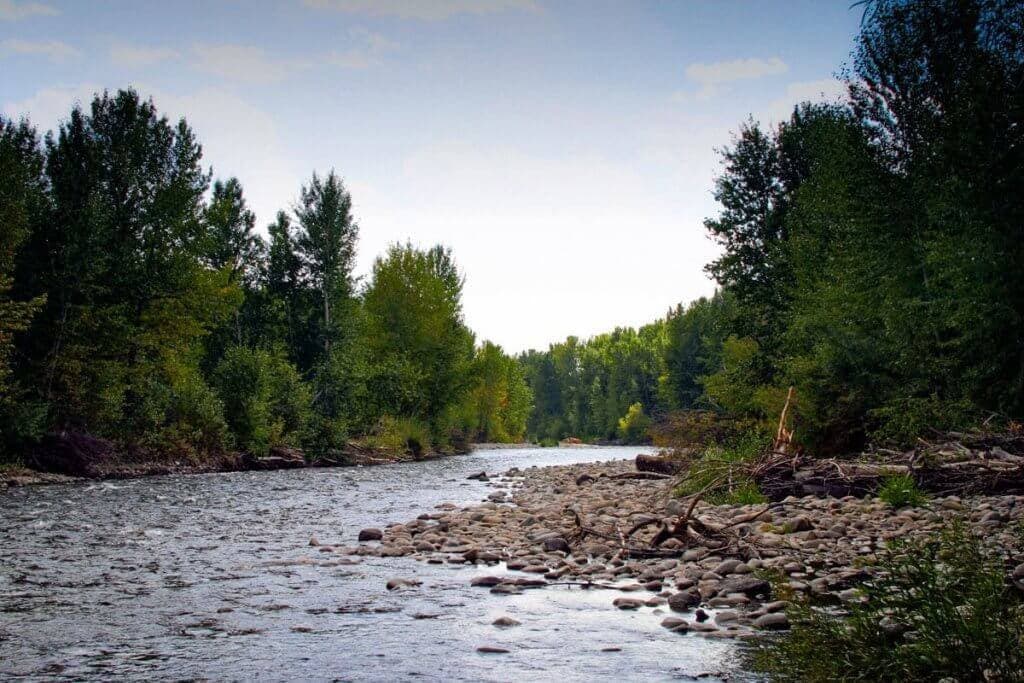
278 km above Lower Granite · 82 km of river
Little Salmon River
Migration on the Little Salmon River pageSteelhead
Well below typical- Steelhead: the run is tapering off
Salmon
Nothing running today.
- Spring chinook · Season over
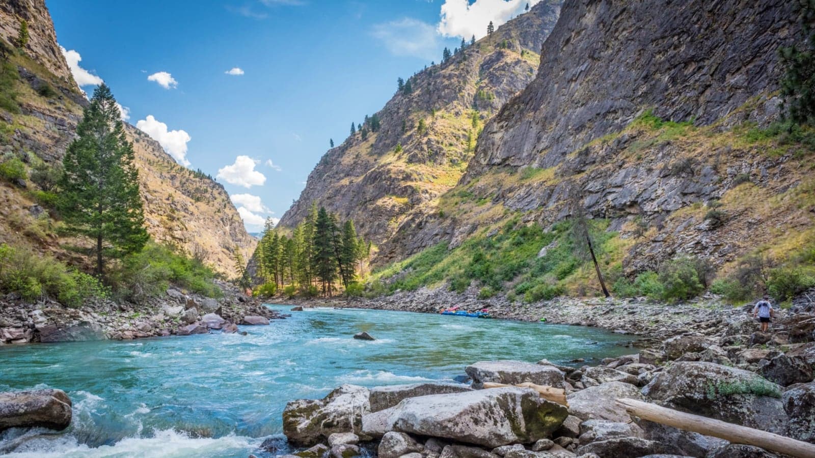
455 km above Lower Granite · 170 km of river
Middle Fork Salmon River
Migration on the Middle Fork Salmon River pageSteelhead
Well below typical- Steelhead: the run is tapering off
Salmon
Nothing running today.
- Spring chinook · Season over
- Summer chinook · Season over
Questions
- Where do these counts come from?
- Fish are counted at the ladders of eight dams between the Pacific and Idaho by the U.S. Army Corps of Engineers, published through Columbia River DART, and refreshed here every night. The Corps usually posts a day behind, which is why every number on this page carries the date it describes rather than today's.
- What does "typical for the date" mean?
- Each day's passage is compared with the same calendar date in each of the previous ten run-years at the same dam. Typical means this date's count sits near the middle of that history. Surging means it is far above it. The comparison is always against the date, never against the season's peak, so a big day in October can still read as typical.
- Does a high count mean the fishing is good?
- No, and nothing here says so. A count describes how many fish passed a dam on a day. Whether they are catchable where you are depends on flow, temperature, water clarity and how far up the river they have moved since.
- How do you know where the fish are now?
- The painted stretch on each river is a travel model, not a measurement. Every day's count at Lower Granite is placed a distance upstream according to how long ago it passed and how fast that species moves, then spread along the river. It is relative activity, never a literal number of fish in a stretch, and it never splits the run by destination.
- Why does the steelhead season cross two calendar years?
- Steelhead cross the dams in late summer and autumn, hold in the mainstem through winter and move up the tributaries from March, so a steelhead run-year starts on June 16 rather than January 1. Every other run is counted from January 1.
- Are the counts at the lower dams all headed for Idaho?
- Not at the four Columbia dams. Bonneville, The Dalles, John Day and McNary count fish bound for the upper Columbia as well. Ice Harbor is the first count on the route that is purely Snake-bound, and Lower Granite is the last dam below Idaho.
Method and sources
Counts by the U.S. Army Corps of Engineers via Columbia River DART. Counts usually run a day behind, which is why every number here carries the date it describes rather than today's.
PIT-tag detections are an index of timing, never a count of fish, and no figure on this page is a detection. Nothing here claims a destination for an individual fish or predicts how the fishing will be.