

Truckee River at Boca Bridge near Truckee
Last updatedUSGS 10344505 · Sep 30, 2025, 3:00 PM
Every 60 min · daylight
Updated
← Back to mapCalifornia Rivers › Lake Tahoe to Reno, California and Nevada
Lake Tahoe's only outlet, a rainbow trout river of pocket water from Tahoe City through Truckee, the Floriston gorge and the parks of Reno.
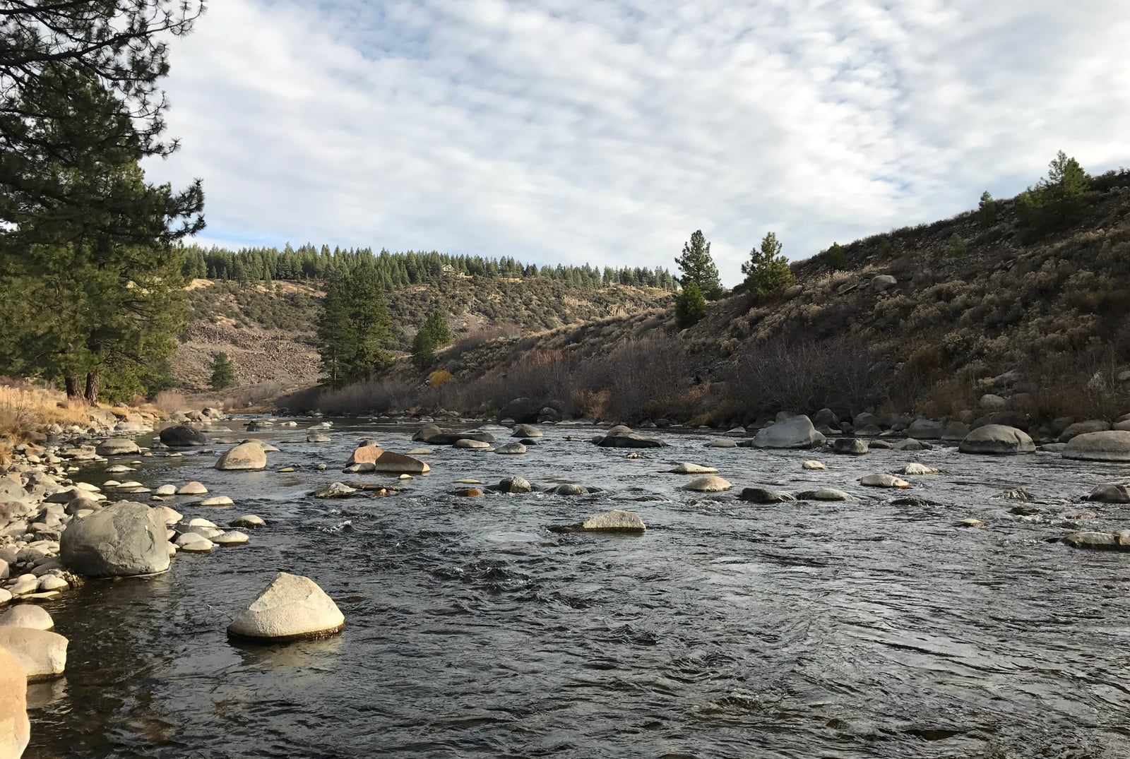
The Truckee is the only outlet of Lake Tahoe. It leaves the lake at Tahoe City, runs north to the town of Truckee, bends east through a canyon into Nevada, crosses Reno and Sparks, and ends 121 miles on in Pyramid Lake. Its size depends on the run-off and on what is let out of Lake Tahoe. From Fanny Bridge in Tahoe City to the Alpine Meadows Rd bridge, Hwy 89 and a bike path follow the river past islands and slow meadow water, busy with rafters and tubers in summer. Below River Ranch it switches sides of the highway at Midway Bridge and runs into Truckee as brushy pocket water, past Silver Creek, Goose Meadow and Granite Flat campgrounds, with private land between the turnouts. Below town, Glenshire Dr and the Legacy Trail reach big-boulder pockets at Truckee Falls and a set of weirs where trout rise to dries, down to the Glenshire bridge and private club water. Off I-80, the Schoolyard and The Loop lead to Boca, where the Little Truckee joins and the Miracle Mile glide begins. Between Hirschdale and Floriston there is almost no public access. From Floriston to the state line it drops through a gorge of fast pocket water, reached from I-80 turnouts, Farad and the Tahoe-Pyramid trail. In Nevada, Verdi and Mogul have more pocket water, then city parks on the paved Tahoe-Pyramid bike trail line the river through Reno and Sparks. Below Sparks, Lockwood, Mustang, McCarran Ranch Preserve and the USA Parkway exit reach slower water. Past Derby Dam and Wadsworth the river enters the Pyramid Lake Paiute Reservation, tribal land under the tribe's own rules and permits; the sites here stop above it. The fish are rainbow trout, and each stretch has its own season. Tahoe City to Truckee is best in late summer and fall at about 100 to 250 cfs. From Truckee through the canyon to the state line, the good months run from the end of run-off through fall until snow, at roughly 150 to 550 cfs. Through Reno and Sparks the river fishes all year and is best in winter at 250 to 450 cfs; below Sparks, late fall, winter and early spring are best at 400 to 600 cfs. The upper river warms in late summer as Tahoe releases drop, so fish early and late and carry a thermometer. Most of the Truckee is pocket water with riffles, runs and tailouts behind brushy banks, so wading usually beats casting from shore. Roll cast under the overhanging trees, fish bait and lures from the bank in the bigger pools, and save dry flies for the Glenshire weirs and evenings on the Miracle Mile. Footing is uneven, and a wading staff earns its keep in the Floriston gorge. Where the bank is private, stay in the water. Dress in layers for the altitude and bring plenty to drink. Regulations change and differ by section and by state, so check the current California and Nevada regulations before you go.
Best Season
Late summer and fall above Truckee; winter from the state line down
River Type
Pocket water, riffles and runs below Lake Tahoe
Skill Level
Intermediate, with hard wading in the canyon
Best Techniques
Wading the pocket water, roll casts under brush, evening dry flies
Access
Roadside turnouts along Hwy 89 and I-80, Glenshire Dr below Truckee, and city parks on the Tahoe-Pyramid trail in Reno and Sparks, with private land between.
More stations on the river
Explore fish species associated with the Truckee River. Each profile includes identification tips, habitat notes, and practical fishing guidance for anglers.
Review seasonal insect hatches on the Truckee River, including timing windows and fly pattern suggestions for your next trip.
Check current seasons, limits, and special rules for Truckee River before you go. Regulations change, so always verify with IDFG.
The latest fishing conditions and hatch notes for Truckee River. Older reports live in the Truckee River report archive.
These YouTube videos have been hand-curated by our team because we feel they best represent the Truckee River fishery. Watch for river character, access context, and techniques that translate to your next trip.
No towns within 30 mi
Map data © Mapbox © OpenStreetMap
These YouTube videos have been hand-curated by our team because we feel they best represent the Truckee River fishery. Watch for river character, access context, and techniques that translate to your next trip.
Fishing guides, outfitters, shuttles, and shops that operate on the Truckee River.
Review seasonal insect hatches on the Truckee River, including timing windows and fly pattern suggestions for your next trip.
No data for this season.
The latest fishing conditions and hatch notes for Truckee River. Older reports live in the Truckee River report archive.
Clear water and normal flows make the Truckee a solid bet right now, especially the Glenshire to stateline stretch. Fish olives and midges in the morning, then switch to October Caddis as evening approaches.
USGS 10344505 · Sep 30, 2025, 3:00 PM
Every 60 min · daylight
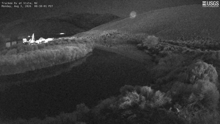
USGS 10350000 · Oct 29, 2026, 8:30 PM
Every 60 min · 247
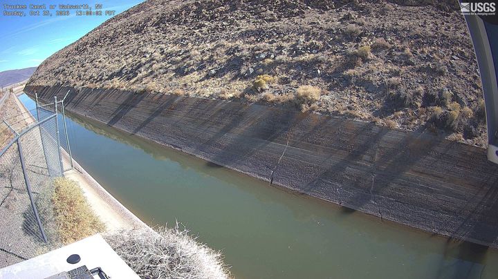
USGS 10351300 · Oct 29, 2026, 7:00 PM
Every 60 min · 247