Updated
← Back to mapCalifornia Rivers › Mt. Shasta to the Sacramento Valley, Northern California
One river from a freestone trout stream near Mt. Shasta, past two dams and Redding, to big valley water where salmon, steelhead, shad and stripers follow the seasons.
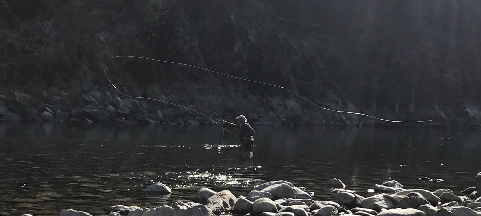
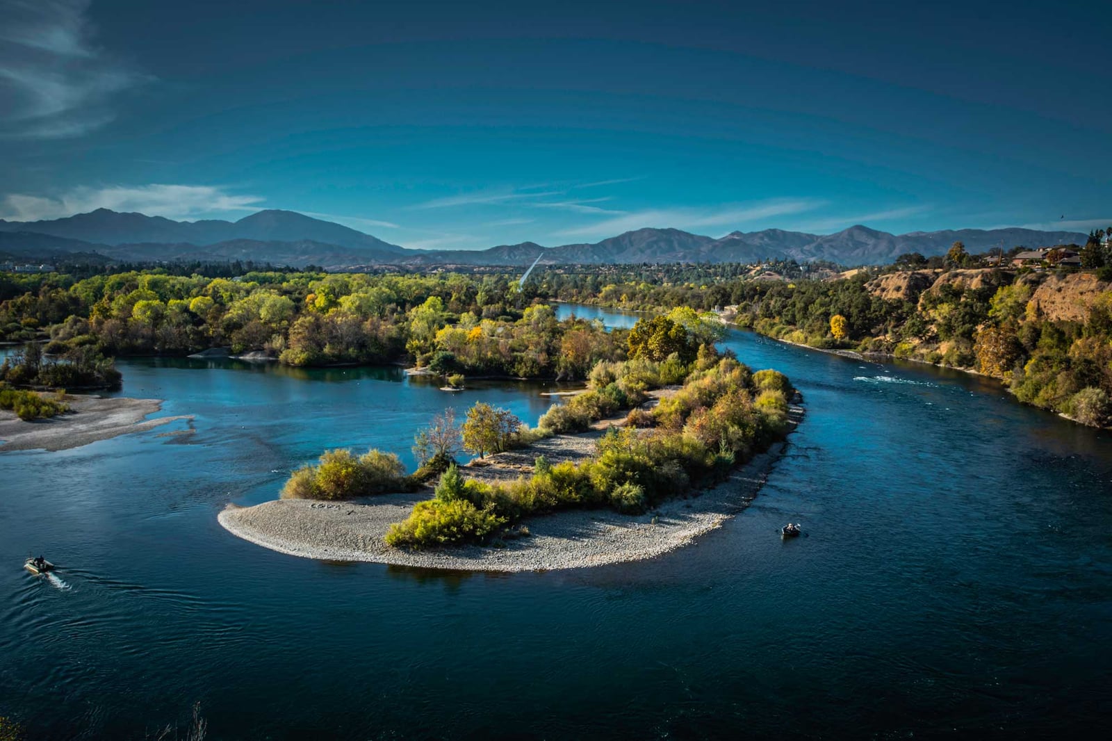
The Sacramento River runs from freestone headwaters near Mt. Shasta, through two big dams and Redding, and out into the slow, wide water of the Sacramento Valley. Two stretches have their own Barbless pages, The Upper Sac and The Lower Sac; this page follows the whole river. The Upper Sac starts on the Trinity Divide, where the North, Middle and South Forks gather in Lake Siskiyou behind Box Canyon Dam. From that dam to Shasta Lake at Lakehead is about 30 miles of pocket water, riffles, runs and boulder pools, with I-5 and the railroad alongside past Dunsmuir, Castle Crags State Park and Sims Flat. Below Shasta Dam the river moves for about 2.5 miles before slowing into Keswick Lake. Below Keswick Dam, The Lower Sac is a big tailwater through Redding and Anderson to Bend, reached from the paved Sacramento River Trail, city parks and ramps, with old volcanic flows to cast from between Jellys Ferry and Bend. Past Bend it turns into valley river: deep runs, gravel bars, islands and side sloughs. The gates of the old diversion dam at Red Bluff were raised for good in 2011, so the lake that once backed up there no longer forms. The river then winds through orchards past Sycamore Grove, Gravel Pit Road, Mill Creek, the Tehama Bridge and Kopta Slough to Woodson Bridge, and on past Hamilton City and Ord Bend toward Colusa and Princeton, where the fishing turns on migratory fish passing through rather than resident trout. Trout do best from Shasta Dam to Red Bluff, with a very heavy caddis hatch in March and April. CDFW lists the Sacramento among the Central Valley's major American shad rivers; shad of 2 to 6 pounds peak from April through June, best around Woodson Bridge and Los Molinos. Spawning striped bass push upriver toward Colusa and Princeton in spring. Fall-run Chinook salmon fishing reopens in 2026 after a three-year closure, with a general season from mid-July to mid-December; the exact dates and boundaries for each section are in the Freshwater Sport Fishing Regulations. The state record Chinook, 88 pounds, came from this river. Steelhead, the sea-run form of coastal rainbow trout, run with the salmon, and you need a Steelhead Report Card. White sturgeon are catch-and-release only, with seasons split by section, so check the current map first. Green sturgeon are federally protected, and fishing for them is illegal. On the Upper Sac, wade and fish nymphs all year and dries from April to November. Below the dams most anglers fish from boats or drift, because the current is strong and the channel large; newcomers should hire a local guide. Low water opens gravel bars and wadeable riffles, and high water sends you to the bank with bait and lures. Drift glo-bugs through runs up to about 6 feet deep for steelhead, and swing chartreuse or orange shad flies through medium flows. Regulations change and differ by section, so check the current California regulations from CDFW before you go.
Best Season
Spring (April-June) for shad and striped bass; mid-July to mid-December for Chinook; fall-winter for steelhead; March-April caddis for trout
River Type
Freestone stream, dam-controlled tailwater, then a large low-gradient valley mainstem
Skill Level
Intermediate: big water and strong current below the dams
Best Techniques
Nymphs and dries on the Upper Sac; drift fishing and back-trolling from boats; glo-bugs for steelhead; shad flies and darts
Access
Roadside and railroad-grade walks on the Upper Sac, trails and parks through Redding, and mostly boats on the valley water below.
More stations on the river
Review seasonal insect hatches on the Sacramento River, including timing windows and fly pattern suggestions for your next trip.
Check current seasons, limits, and special rules for Sacramento River before you go. Regulations change, so always verify with IDFG.
The latest fishing conditions and hatch notes for Sacramento River. Older reports live in the Sacramento River report archive.
These YouTube videos have been hand-curated by our team because we feel they best represent the Sacramento River fishery. Watch for river character, access context, and techniques that translate to your next trip.
No towns within 30 mi
Map data © Mapbox © OpenStreetMap
The latest fishing conditions and hatch notes for Sacramento River. Older reports live in the Sacramento River report archive.
The Sacramento is in good shape with October Caddis emerging upstream and salmon spawning activity drawing strong rainbows downstream.
These YouTube videos have been hand-curated by our team because we feel they best represent the Sacramento River fishery. Watch for river character, access context, and techniques that translate to your next trip.
Fishing guides, outfitters, shuttles, and shops that operate on the Sacramento River.
Review seasonal insect hatches on the Sacramento River, including timing windows and fly pattern suggestions for your next trip.
No data for this season.
Visit ReddingOn visitredding.com
AAX AlarmOn ptz.aaxalarm.net
A moving camera: it cycles through bridge and river views and may face away from the water
USGS 11447650 · Oct 29, 2026, 7:30 PM
Every 15 min · 247
USGS 381427121305401 · Oct 30, 2026, 4:45 AM
Every 15 min · 247
USGS 11455420 · Oct 29, 2026, 8:15 PM
Every 15 min · 247
Caltrans District 3On cwwp2.dot.ca.gov
Traffic camera on the bridge; the river may be out of frame