Updated
← Back to mapCalifornia Rivers › Humboldt and Mendocino counties
A redwood-lined coastal river where fall salmon and winter steelhead follow the rain, from Leggett down to the forks at Dyerville.
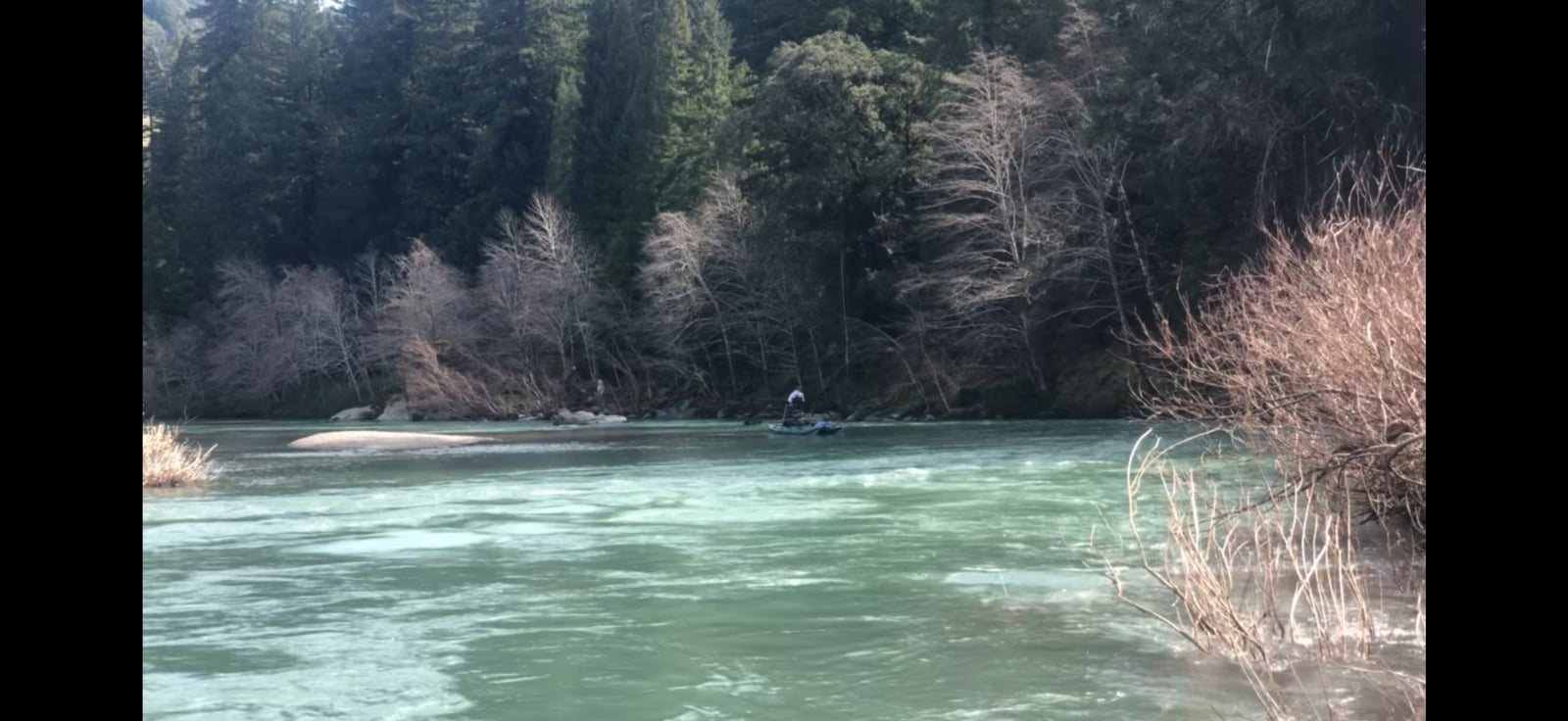
The South Fork Eel is a coastal freestone river that flows north through Mendocino and Humboldt counties, from Rattlesnake Creek above Leggett to its meeting with the main Eel at Dyerville. Highway 101 and the Avenue of the Giants stay close to it most of the way, and redwood parks hold much of the bank: Standish-Hickey SRA, Richardson Grove State Park, Benbow Lake SRA, the John B Dewitt reserve and the Humboldt Redwoods groves. It is a river of long gravel bars, riffles, glides and deep holes, with about 70 named pools and runs. Up top, Rattlesnake Creek and Big Dann Creek feed a small river that drops past Cedar Creek and Hollow Tree Creek to Leggett and the Standish-Hickey camps, where a trail leads down to Hickey Hole. Below there the highway follows it past Smithe Grove and the boulder pocket water of Potato Patch to Piercy and Twin Bridges Hole. From Piercy, Hwy 271 runs beside the river past the green steel bridge and Dimmicks Hole to Richardson Grove, then Benbow Drive leads to Benbow and the East Branch. Garberville, Tooby Memorial Park and Redway come next, then Sylvandale Pool off Hooker Creek Road and the bars at Phillipsville. Past the Miranda-Phillipsville bridge the Avenue of the Giants takes over, through Jensen Grove, Meyers Flat, Hidden Springs and Williams Grove to Burlington, Weott and the forks. Many sites are drive-down gravel bars with drift boat launches; others are a turnout and a short scramble. Burlington, Benbow and the Richardson Grove camps stay open all year, while Hidden Springs, Albee Creek and the Standish-Hickey camps close for the off season. The first fall rains, often in October, open the Eel's mouth and send fish upriver. Chinook and coho run from October through December and settle into the big holes, such as Sylvandale Pool, Judge Carvers Hole and Rosewarne; a 64-pound Chinook was once weighed in at Garberville. Steelhead arrive in November and stay into March, peaking in January and February, and spread through the riffles, runs and glides. This drainage has been logged, so its creeks run brown and the river climbs and colors fast after a storm. The South Fork fishes best while it rains and just after, and following a big storm the stretch from Piercy up to Leggett is often the only water still in shape. Drift boaters launch from the bars; bank anglers wade the gravel, fish roe or spinners off the rocks, or swing big dark flies and pink or blue intruders through the steelhead riffles, roll casting where the trees crowd in. In fall and winter the river closes to fishing when flows drop low, so check CDFW's low-flow status before every trip. Regulations change and differ by section, so check the current California freshwater regulations before you go.
Best Season
Salmon October to December; steelhead November into March, best January and February, during and just after rain
River Type
Free-flowing coastal river with salmon and steelhead runs
Skill Level
Intermediate to advanced
Best Techniques
Drifting roe, casting spinners from the rocks, and swinging big dark flies through riffles and runs
Access
Gravel bars, park groves and highway turnouts along Highway 101, Hwy 271 and the Avenue of the Giants, many with drift boat launches.
Explore fish species associated with the South Fork Eel River. Each profile includes identification tips, habitat notes, and practical fishing guidance for anglers.
Review seasonal insect hatches on the South Fork Eel River, including timing windows and fly pattern suggestions for your next trip.
Check current seasons, limits, and special rules for South Fork Eel River before you go. Regulations change, so always verify with IDFG.
The latest fishing conditions and hatch notes for South Fork Eel River. Older reports live in the South Fork Eel River report archive.
These YouTube videos have been hand-curated by our team because we feel they best represent the South Fork Eel River fishery. Watch for river character, access context, and techniques that translate to your next trip.
No towns within 30 mi
Map data © Mapbox © OpenStreetMap
These YouTube videos have been hand-curated by our team because we feel they best represent the South Fork Eel River fishery. Watch for river character, access context, and techniques that translate to your next trip.
The latest fishing conditions and hatch notes for South Fork Eel River. Older reports live in the South Fork Eel River report archive.
The South Fork Eel remains closed until January 1, 2027 due to low flows. Current conditions at 28 cfs are far below the 340 cfs minimum threshold.
Fishing guides, outfitters, shuttles, and shops that operate on the South Fork Eel River.
No verified providers for this river yet. Browse the full directory.
Review seasonal insect hatches on the South Fork Eel River, including timing windows and fly pattern suggestions for your next trip.
No data for this season.