Updated
← Back to mapCalifornia Rivers › Lassen to Lake Oroville, Northern California
A hydropower river that runs from meadow water above Lake Almanor down a canyon of dams, powerhouses and boulder bars to Lake Oroville.
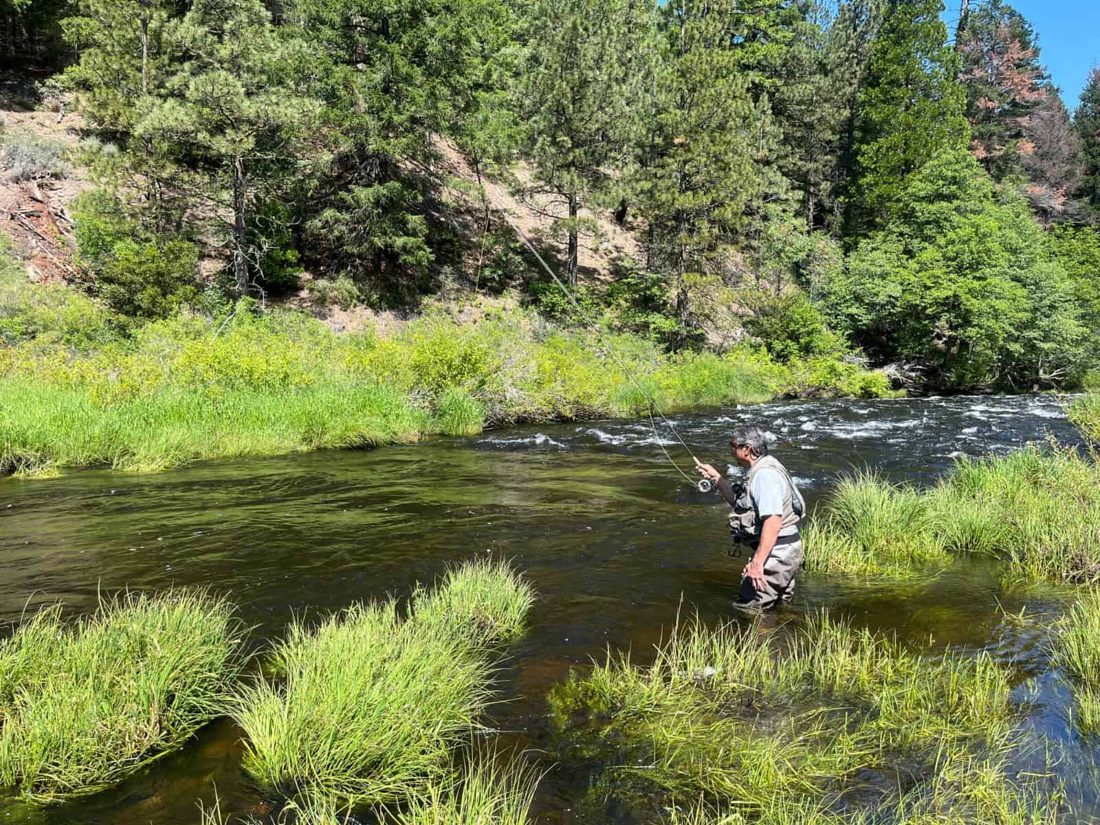
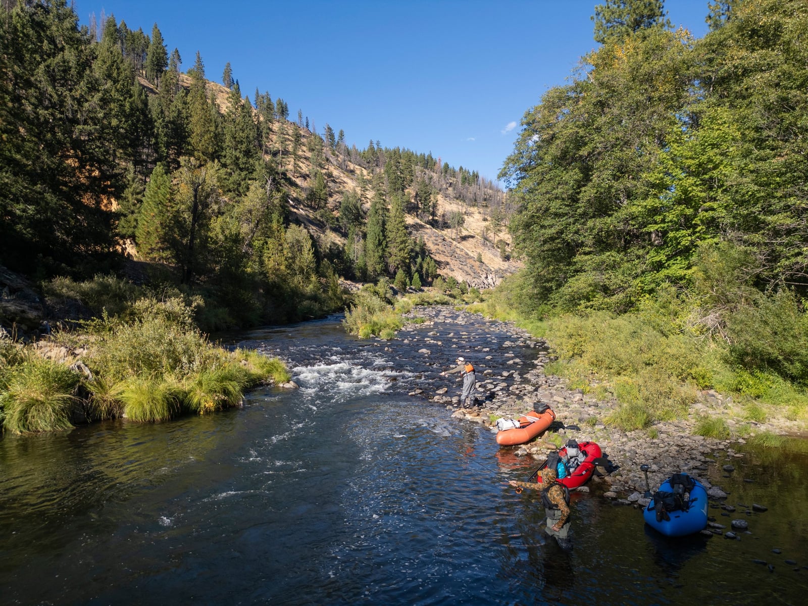
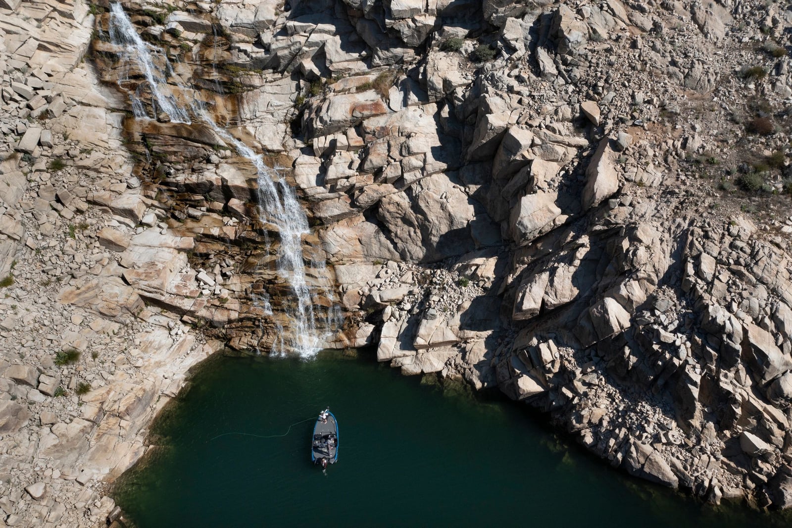
The North Fork Feather River is harnessed for power from top to bottom. It rises at about 6000 feet south of Lassen Park, fills Lake Almanor, then drops through a steep canyon shared with Highway 70 and the railroad, past a chain of dams, power reservoirs and powerhouses, until it reaches Lake Oroville at about 1000 feet. Each powerhouse puts water back, so the river grows as it drops. Above Lake Almanor it is a small river with a gentle grade: meadow stretches, step pools, pocket water and short canyon reaches. Dirt roads and rough camps reach it from Domingo Springs Campground down past the Feather River Rod & Gun Club, River Loop Road and High Bridge, then past the Louse Creek mouth and a diversion dam to Chester, where Highway 36 crosses just above the lake. In 1990 the water upstream of the Rod & Gun Club was private. Below Almanor the river leaves Canyon Dam and runs through the Seneca reach off Highway 89, past the Butt Creek mouth to Caribou, home to a powerhouse and the Belden Forebay dam. From Caribou, Caribou Road follows the river past Queen Lily, North Fork and Gansner Bar campgrounds to Twin Bridges, where the East Branch comes in. In 1990 this was the most heavily fished part of the river, and it was stocked through the season. Below the confluence the river follows Highway 70. Yellow Creek and Belden Powerhouse add water at Belden, then come Rock Creek Reservoir and its dam, slow deep water down to Rodgers Flat with the road high above, and boulder bars past Chambers Creek and James Lee Camp to Tobin Double Bridge. Below Storrie Bridge, Rock Creek Powerhouse adds a great deal more water, and deep pools carry on to Cresta Reservoir. Under Cresta Dam the river is pocket water and pools past Grizzly Creek, Arch Rock and the rest area to Cresta Powerhouse and Poe Dam Reservoir. Below Poe Dam it passes Pulga Bridge and Bardees Bar on the way to Poe Powerhouse, where Lake Oroville starts. The fish are rainbow and brown trout. Rainbows gather at the upper ends of the power reservoirs in spring, and browns move up into the same water in fall to spawn. On the upper river near Rice Creek Road the water runs very fast early in the season. In 1990 the campgrounds along the river opened between April and June and closed in September or October. Most methods work somewhere. Bait anglers use small nightcrawlers, crickets and single eggs; spin anglers use Panther Martin, Blue Fox Vibrax and Rooster Tail spinners. Fly anglers fish big stonefly dries like the Sofa Pillow, stonefly nymphs, Elk Hair Caddis and PT nymphs. Wade the boulder bars, riffles and tailouts; fish the deep pools and reservoir heads from the bank, or hand launch a small boat on Rock Creek or Cresta reservoirs. Regulations change and differ by section, so check the current California regulations before you go.
Best Season
Spring for rainbows and fall for browns at the reservoir heads
River Type
Steep canyon water broken by dams, powerhouses and power reservoirs
Skill Level
All levels; steep rocky banks at many turnouts
Best Techniques
Bait and spinners in the deep pools, nymphs and dries on the riffles and boulder bars
Access
Highway turnouts, campgrounds and short dirt roads line most of the river, with a climb down rock slopes at many of them.
Explore fish species associated with the North Fork Feather River. Each profile includes identification tips, habitat notes, and practical fishing guidance for anglers.
Review seasonal insect hatches on the North Fork Feather River, including timing windows and fly pattern suggestions for your next trip.
Check current seasons, limits, and special rules for North Fork Feather River before you go. Regulations change, so always verify with IDFG.
The latest fishing conditions and hatch notes for North Fork Feather River. Older reports live in the North Fork Feather River report archive.
These YouTube videos have been hand-curated by our team because we feel they best represent the North Fork Feather River fishery. Watch for river character, access context, and techniques that translate to your next trip.
No towns within 30 mi
Map data © Mapbox © OpenStreetMap
These YouTube videos have been hand-curated by our team because we feel they best represent the North Fork Feather River fishery. Watch for river character, access context, and techniques that translate to your next trip.
Review seasonal insect hatches on the North Fork Feather River, including timing windows and fly pattern suggestions for your next trip.
No data for this season.
Fishing guides, outfitters, shuttles, and shops that operate on the North Fork Feather River.