Updated
← Back to mapCalifornia Rivers › Emigrant Gap to Auburn, California
A deep freestone canyon below Emigrant Gap, reached by steep hike-in trails up high and slow bridge roads near Auburn.
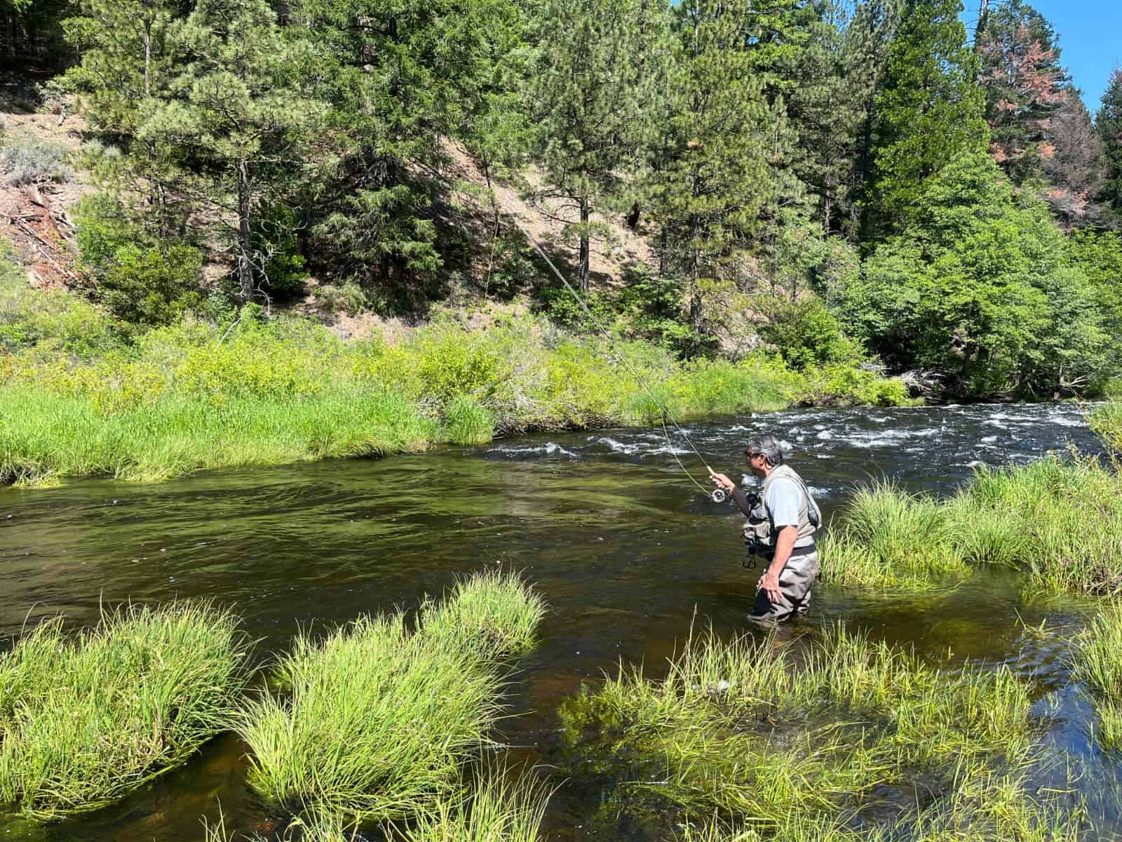
The North Fork of the American is a freestone river that falls out of the high country below Emigrant Gap on I-80 and cuts a deep canyon down to Auburn, where it meets the Middle Fork. It is canyon water through and through: bedrock holes, cobble bars, boulder riffles and long pools, with cabins, mining works and dredge tailings left on the banks from the gold-rush years. Lake Clementine, behind North Fork Dam, separates the last few miles from the canyon above. The top of the river has no road to it. The American River Trail follows the water for 7.5 miles through the upper canyon, an easy walk once you are down, but the only ways down are the Sailor Flat and Beacroft trails. Below that, the Mumford Bar, Italian Bar, Euchre Bar and Green Valley trails each drop 2.3 to 3.3 miles from trailheads reached off Foresthill Rd, losing two to three thousand feet on the way. Expect an hour or more going in and roughly half again as long climbing out. Iowa Hill Bridge, on the road from Colfax, is the first place you can drive to the river below the trails. Next come the bridges at Shirttail Canyon on Yankee Jim Rd and at Ponderosa Way, both inside Auburn State Rec. Area in 1995 and both at the bottom of slow, rough roads. Below Lake Clementine the river runs on to the confluence below Auburn, where gravel bars on both forks make this the easiest water on the fork to reach, and an old road leads up the Middle Fork for about 5 miles. This is trout water, fished with flies, bait and lures, and the calendar turns on flows and roads more than on any one date. The trailheads sit between 4,080 and 6,400 feet, and the dirt road to Sailor Flat wants four-wheel drive when it is wet. In 1995 most campgrounds in these canyons opened in May or June and closed in October, which is a fair guide to the months the high trails are a reasonable trip. Low water changes many of these spots, and the riffles fish and wade better as the river drops later in the season. Fly anglers work the riffles and tailouts on foot. The deep bedrock holes, and the big pools at the bridges, suit bait and lures cast from the rocks or the bank, and most of the lower bridge pools can be fished without getting wet. In the hike-in canyon, plan on climbing along the banks between pools. Regulations on the North Fork change and differ by section, so check the current California regulations before you go.
Best Season
Later in the season as flows drop; May or June through October for the high trails
River Type
Freestone canyon river above Lake Clementine
Skill Level
Intermediate to advanced; the canyon trails are long and steep
Best Techniques
Wading the riffles with flies; bait and lures in the bedrock holes and the big pools at the bridges
Access
Rough roads reach a few bridges and the Middle Fork confluence near Auburn; above Iowa Hill Bridge, steep trails of 2.3 to 3.3 miles are the only way in.
Explore fish species associated with the North Fork American River. Each profile includes identification tips, habitat notes, and practical fishing guidance for anglers.
Review seasonal insect hatches on the North Fork American River, including timing windows and fly pattern suggestions for your next trip.
Check current seasons, limits, and special rules for North Fork American River before you go. Regulations change, so always verify with IDFG.
The latest fishing conditions and hatch notes for North Fork American River. Older reports live in the North Fork American River report archive.
These YouTube videos have been hand-curated by our team because we feel they best represent the North Fork American River fishery. Watch for river character, access context, and techniques that translate to your next trip.
No towns within 30 mi
Map data © Mapbox © OpenStreetMap
These YouTube videos have been hand-curated by our team because we feel they best represent the North Fork American River fishery. Watch for river character, access context, and techniques that translate to your next trip.
Fishing guides, outfitters, shuttles, and shops that operate on the North Fork American River.
Review seasonal insect hatches on the North Fork American River, including timing windows and fly pattern suggestions for your next trip.
No data for this season.